
Page 113 - AFMAN 15-111, 12 MAR 2019
P. 113
96 AFMAN15-111 12 MARCH 2019
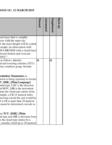
Observed Enter in Remarks Section Manual Automated Supplement Back-up
Condition
Remark
Number
BKN" would identify a scattered layer that is variably
broken. If there are several layers with the same sky
condition amount in the report, the layer height will be coded
with the variable layer. For example, an observation with
cloud layers of SCT010 BKN014 BKN020 with a cloud layer
at 1400 feet that is varying between broken and overcast
would be coded "BKN014 V OVC."
19 Significant Encode significant cloud types as follows. Identify O O
Cloud Types cumulonimbus (CB) of any kind and towering cumulus (TCU)
in the body of the report in the sky condition group. Include
distance if known.
(1) Cumulonimbus or Cumulonimbus Mammatus as
appropriate, (when no thunderstorm is being reported) in format
(CB or CBMAM_LOC_(MOV_DIR)_[Plain Language]
where CB or CBMAM is the cloud type, LOC is the direction
from the observing location, and MOV_DIR is the movement
with direction (if known). Separate the cloud type entries from
each other with a space. For example, a CB 21 nautical miles
west of the observing location moving toward the east would be
encoded "CB 21W MOV E." If a CB is more than 10 nautical
miles to the west and distance cannot be determined, encode as
"CB DSNT W."
(2) Towering cumulus in format TCU_[DIR]_[Plain
Language], where TCU is cloud type and DIR is direction from
the observing location. Separate the cloud type entries by a
space. For example, a towering cumulus cloud up to 10 nautical